Mountain pass · Van Ninh
Ca Pass Đèo Cả
Ca Pass is a mountain pass on National Route 1 in south central Vietnam, where the Dai Lanh range meets the sea at the northern boundary of Khanh Hoa province.
Categories
The airport, the railway, the ports, the expressways and the passes. 6 articles.
Mountain pass · Van Ninh
Ca Pass is a mountain pass on National Route 1 in south central Vietnam, where the Dai Lanh range meets the sea at the northern boundary of Khanh Hoa province.
Military base · Cam Ranh
Cam Ranh Base is a military installation on Cam Ranh Bay in Khanh Hoa province, Vietnam, used in turn by the Russian imperial fleet, France, Japan, the United States,…
Airport · Cam Ranh
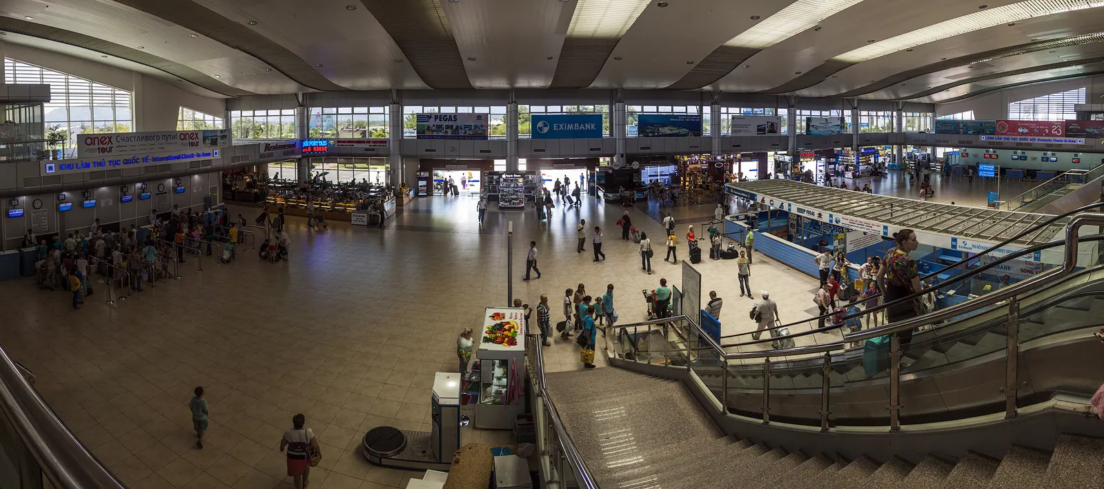
Cam Ranh International Airport is the civil airport serving Nha Trang and the south of Khanh Hoa province, Vietnam. It occupies a former United States air base on the…
Road · Whole province
Expressways in Khanh Hoa province are the North South Expressway sections built through it from 2023 to 2026, plus a branch toward the Central Highlands still under…
Mountain pass · Khanh Vinh
Khanh Le Pass is a mountain pass in western Khanh Hoa province, Vietnam, carrying National Route 27C from the coast at Nha Trang up to the highlands at Da Lat.
Railway station · Nha Trang
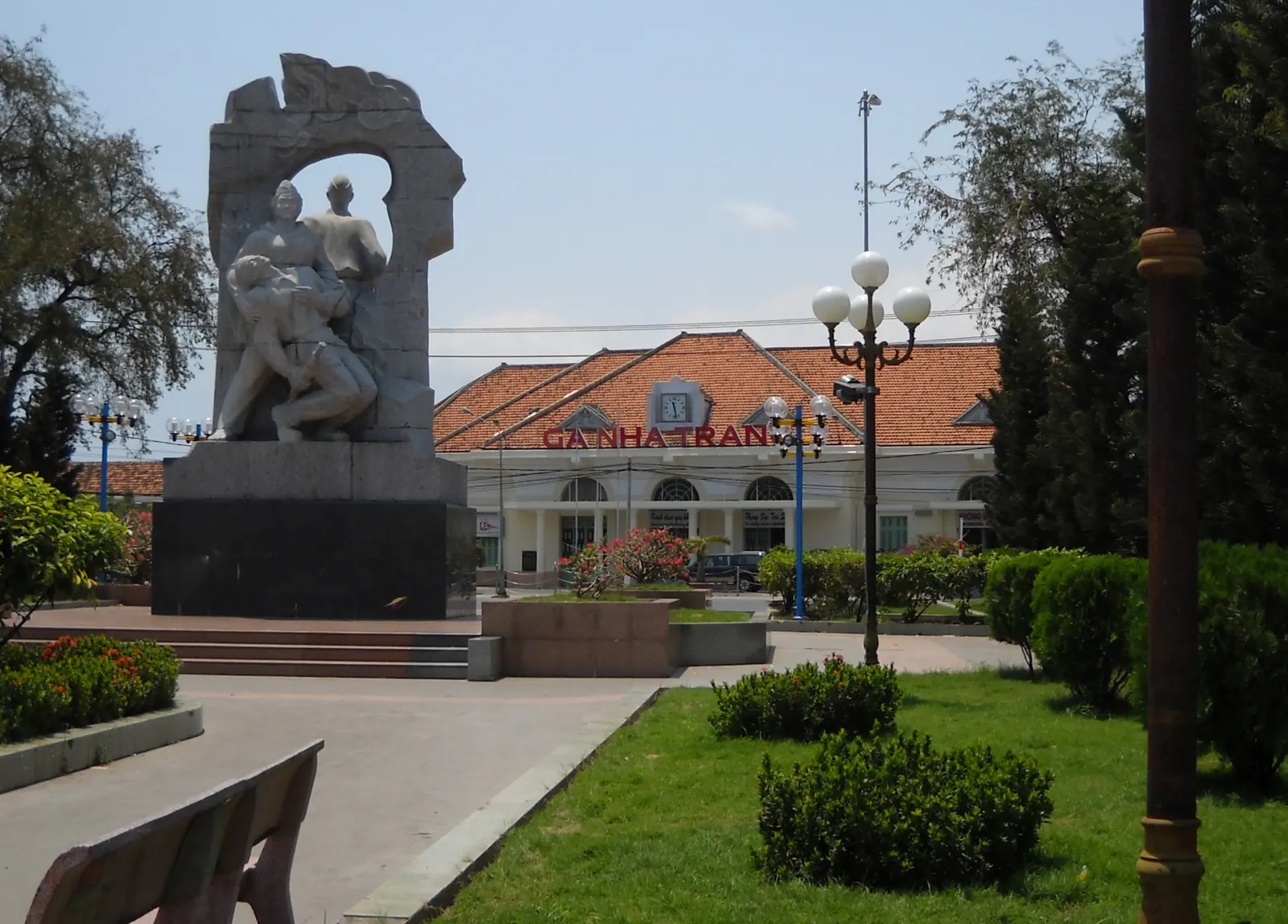
Nha Trang railway station is the main station on the North-South railway in Nha Trang, Khanh Hoa province, Vietnam. It was inaugurated in 1936 and keeps its French…