Khanh Hoa Wiki The reference encyclopedia of Khanh Hoa province, Vietnam
English

Categories

Administration

The 2025 reform, the wards and communes, the former cities and districts, and the special zone. 7 articles.

Overview · Whole province

Administrative divisions of Khanh Hoa Đơn vị hành chính tỉnh Khánh Hòa

Since 1 July 2025 Khanh Hoa province has had a single tier of local government: 65 wards, communes and one special zone, created when a national reform abolished every…

Former city · Cam Ranh

Cam Ranh Cam Ranh

Cam Ranh is a former provincial city on Cam Ranh Bay in Khanh Hoa province, Vietnam, home to a major naval base and an international airport, abolished on 1 July 2025…

Province · Whole province

Khanh Hoa Khánh Hòa

Khanh Hoa is a coastal province on the south central coast of Vietnam, enlarged on 1 July 2025 when Ninh Thuan province merged into it under a resolution of the…

Former city · Nha Trang

Nha Trang Nha Trang

Nha Trang is a former provincial city and the former capital of Khanh Hoa province on the south-central coast of Vietnam, abolished on 1 July 2025 and replaced by four…

Former province · Phan Rang-Thap Cham

Ninh Thuan Ninh Thuận

Ninh Thuan was a province on the south central coast of Vietnam, the driest part of the country and the historic heartland of the Cham people, merged into Khanh Hoa on…

Former city · Phan Rang-Thap Cham

Phan Rang-Thap Cham Phan Rang-Tháp Chàm

Phan Rang-Thap Cham is a former provincial city that was the capital of Ninh Thuan province until the 2025 merger into Khanh Hoa; it was replaced by five wards on 1…

Special administrative zone · Truong Sa

Truong Sa special zone Đặc khu Trường Sa

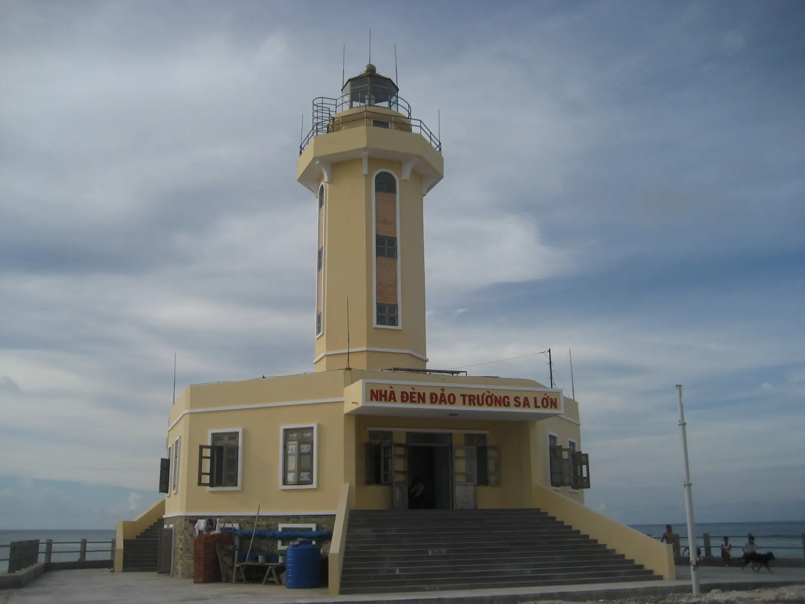
Truong Sa is a special administrative zone of Khanh Hoa province, Vietnam, formed in 2025 from the islands, reefs and atolls that Vietnam holds in the Spratly Islands,…

Cam Ranh Cam Ranh Khanh Hoa Khanh Hoa Nha Trang Nha Trang Ninh Thuan Ninh Thuan Phan Rang-Thap Cham Phan Rang-Thap Cham N
Administrative Pins are placed from the coordinates cited in each article. The boundary is OpenStreetMap data (ODbL).

Not on the mainland map: Truong Sa special zone