Bay · Cam Ranh
Cam Ranh Bay Vịnh Cam Ranh
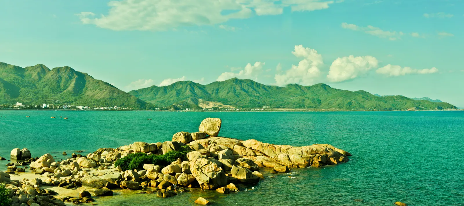
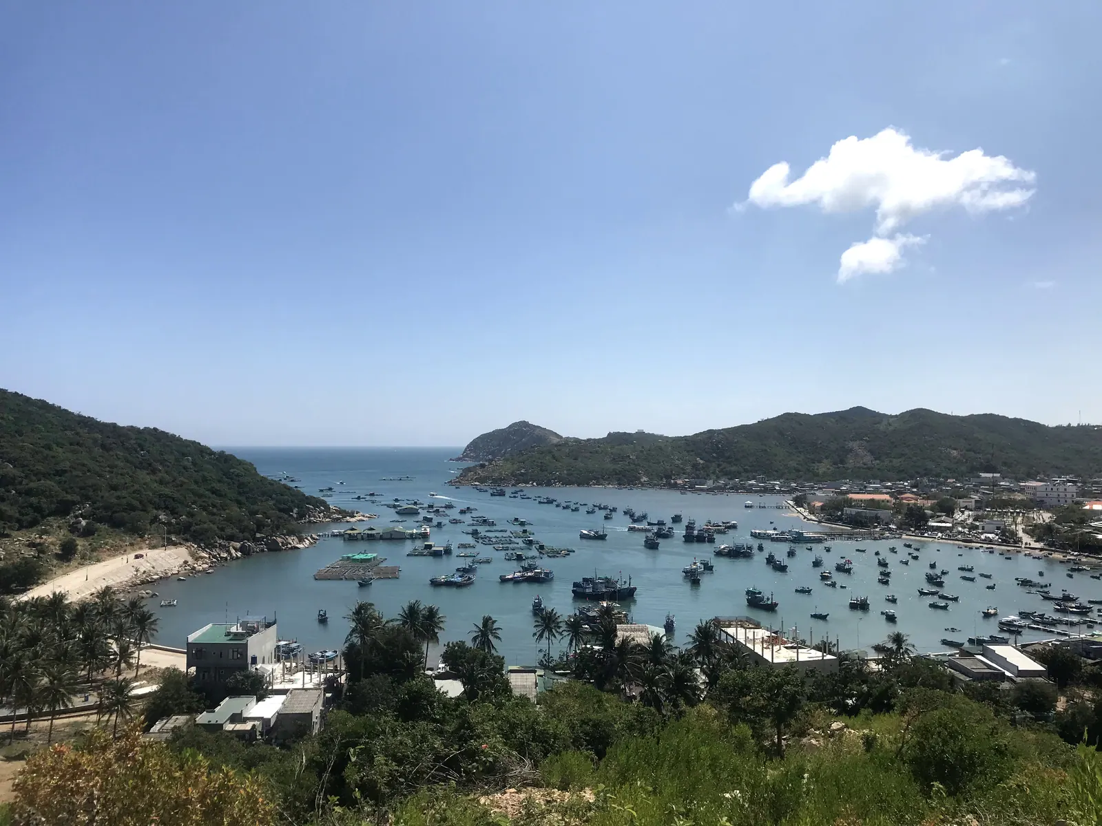
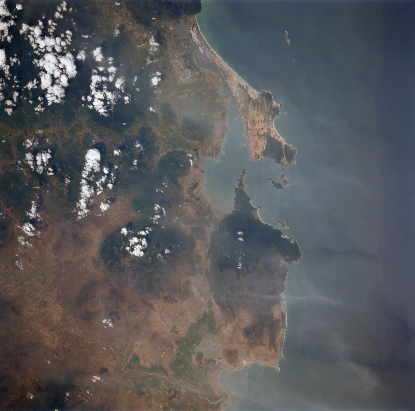
Cam Ranh Bay is a deep-water bay on the south coast of Khanh Hoa province, Vietnam, used as a naval anchorage for over a century and now also home to a commercial port…
Categories
Cam Ranh, Nha Trang and Van Phong bays, the lagoons behind them and the capes between. 6 articles.
Bay · Cam Ranh
Cam Ranh Bay is a deep-water bay on the south coast of Khanh Hoa province, Vietnam, used as a naval anchorage for over a century and now also home to a commercial port…
Cape · Van Ninh
Mui Doi is a granite headland on the Hon Gom peninsula in Khanh Hoa province, Vietnam, identified as the easternmost point of mainland Vietnam and recognised in 2005 as…
Bay · Nha Trang
Nha Trang Bay is a bay on the coast of Khanh Hoa province, Vietnam, covering about 249.65 km² around 19 islands, admitted to the Club of the Most Beautiful Bays of the…
Bay · Ninh Hoa
Ninh Van Bay is a bay on the seaward side of the Hon Heo peninsula in Khanh Hoa province, Vietnam, home to resort properties reached only by boat.
Bay · Van Ninh
Van Phong Bay is the largest bay in Khanh Hoa province, Vietnam, wrapping around the Hon Gom peninsula in the north of the province and the site of a planned deep-water…
Bay · Ninh Hai
Vinh Hy Bay is a near-enclosed bay in Khanh Hoa province, Vietnam, ringed by the mountains of Nui Chua National Park and recognised as a national scenic site in January…