Island · Cam Ranh
Binh Ba Island Đảo Bình Ba
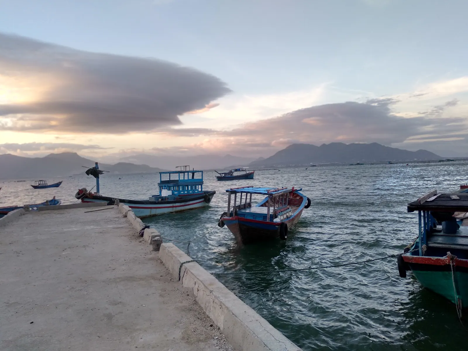
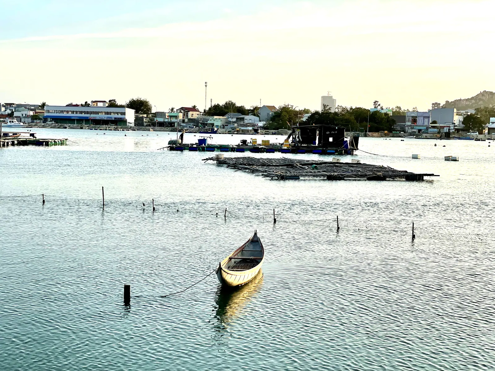
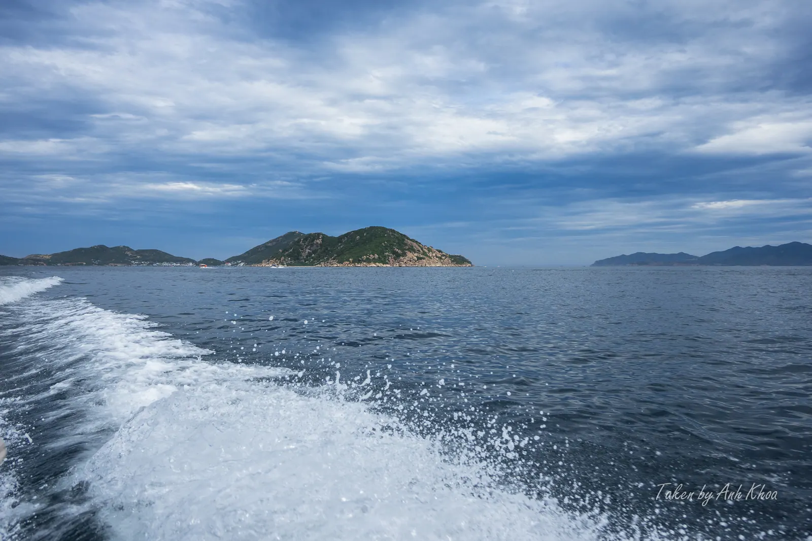
Binh Ba is an island of about 3 km² at the mouth of Cam Ranh Bay, Khanh Hoa province, Vietnam, home to nearly 5,000 people and a lobster-farming economy, and lying…
Categories
Cam Ranh Bay and the installations that have used it. 7 articles.
Island · Cam Ranh
Binh Ba is an island of about 3 km² at the mouth of Cam Ranh Bay, Khanh Hoa province, Vietnam, home to nearly 5,000 people and a lobster-farming economy, and lying…
Island · Cam Ranh
Binh Hung, also called Hon Chut, is an island of under 2 km² close to the mainland at the southern entrance of Cam Ranh Bay, Khanh Hoa province, Vietnam, with about…
Former city · Cam Ranh
Cam Ranh is a former provincial city on Cam Ranh Bay in Khanh Hoa province, Vietnam, home to a major naval base and an international airport, abolished on 1 July 2025…
Military base · Cam Ranh
Cam Ranh Base is a military installation on Cam Ranh Bay in Khanh Hoa province, Vietnam, used in turn by the Russian imperial fleet, France, Japan, the United States,…
Bay · Cam Ranh
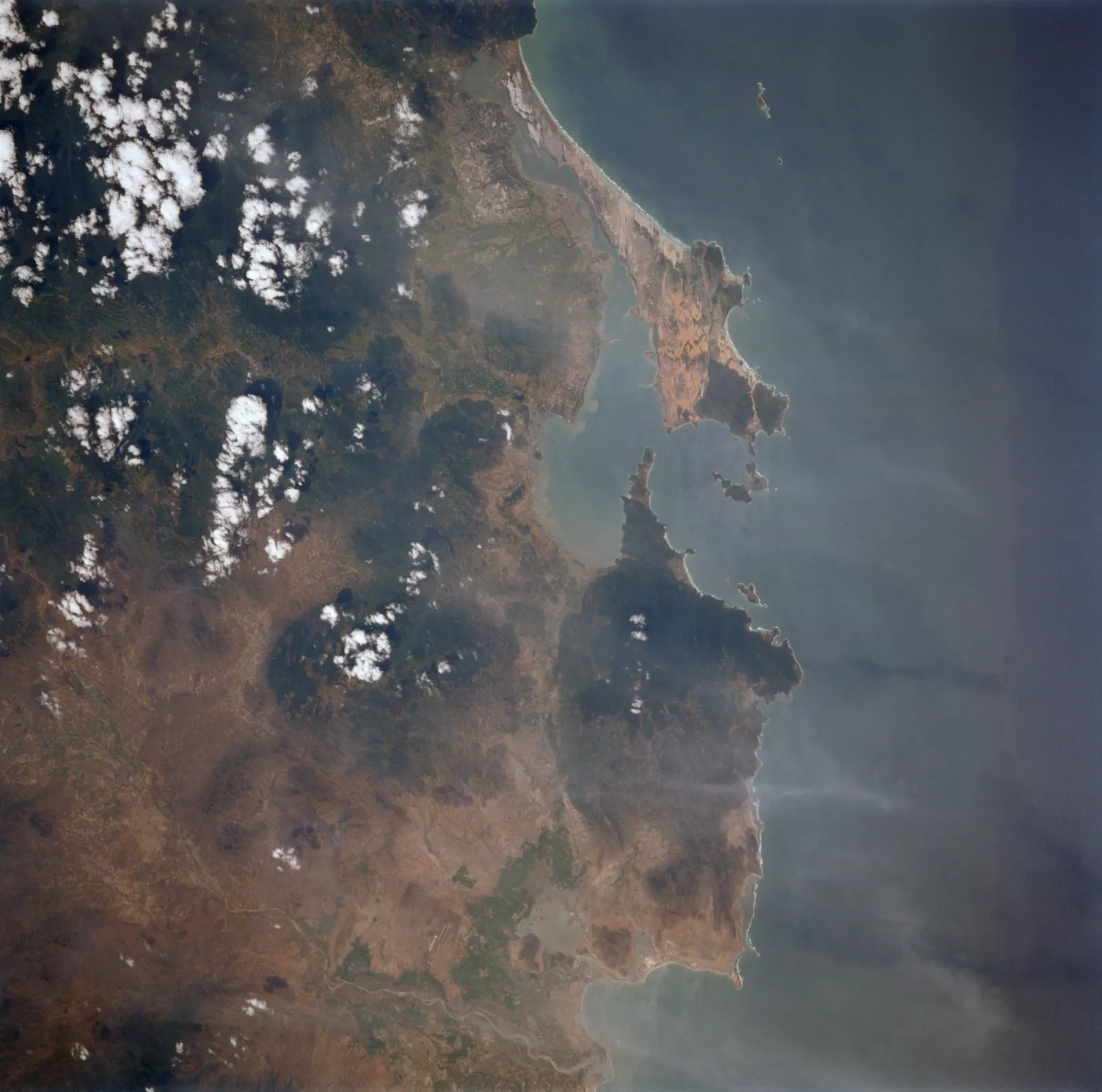
Cam Ranh Bay is a deep-water bay on the south coast of Khanh Hoa province, Vietnam, used as a naval anchorage for over a century and now also home to a commercial port…
Memorial · Cam Lam
Gac Ma Memorial is a monument, museum and park beside the Bai Dai coastal road in Cam Lam, Khanh Hoa province, Vietnam, honouring 64 Vietnamese sailors killed in 1988.
Special administrative zone · Truong Sa
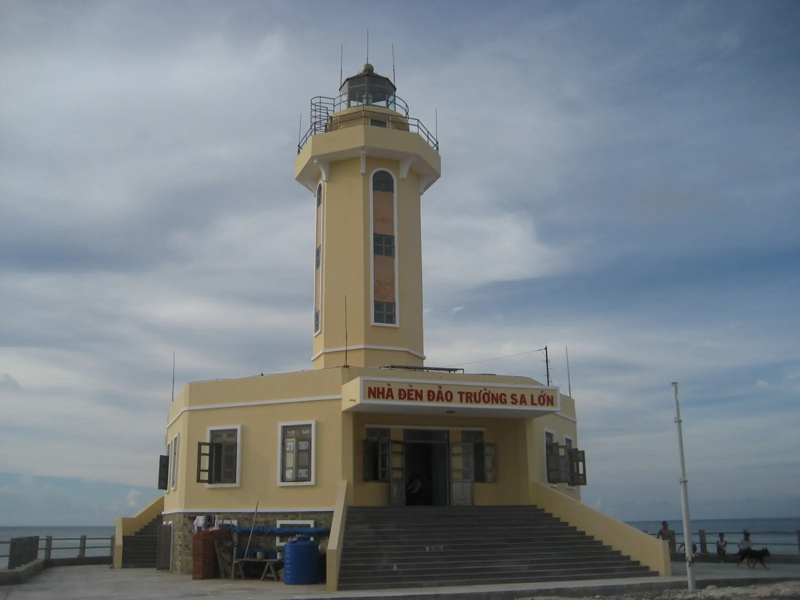
Truong Sa is a special administrative zone of Khanh Hoa province, Vietnam, formed in 2025 from the islands, reefs and atolls that Vietnam holds in the Spratly Islands,…
Not on the mainland map: Truong Sa special zone